The Ubaye valley 04
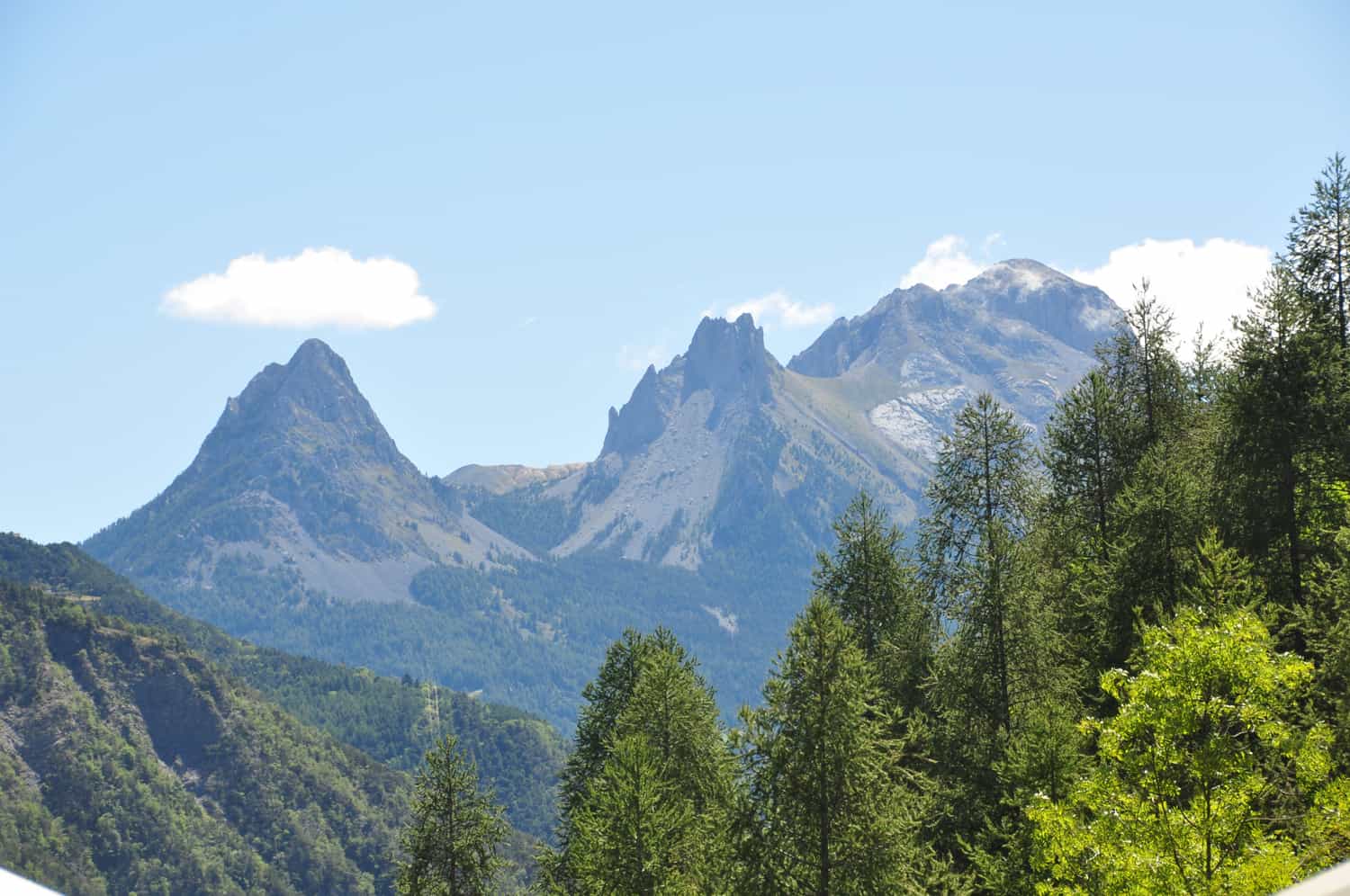
The Ubaye valley, formerly Barcelonnette valley (04) is located in the department of Alpes-de-Haute-Provence. It has around 7,700 inhabitants, called Ubayens or Valéians.
The main town of the Ubaye valley is Barcelonnette.
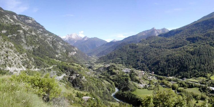
The Ubaye valley is a valley of glacial origin. The right bank of the Ubaye is sunny and cultivated (adret), the left bank is shaded and forested (ubac).
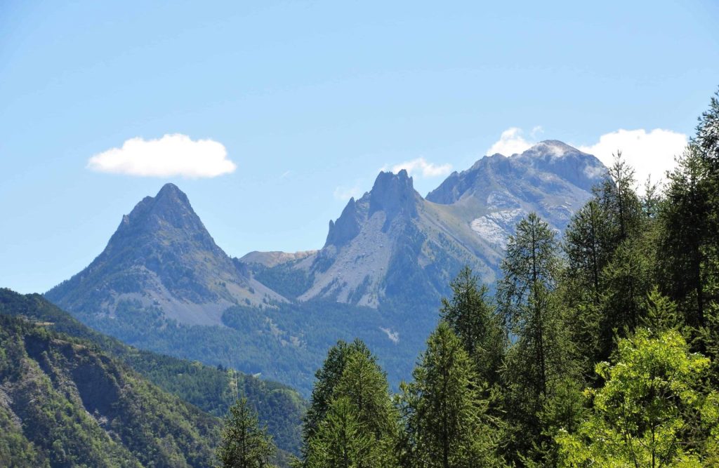
Ubaye Valley
Its altitude goes from 771 meters to the lowest point: the artificial lake of Serre-Ponçon, up to 2,655 meters at the source of Ubaye (Longet Lake). Its highest peak is the Aiguille de Chambeyron with an altitude of 3,412 meters. The Ubaye valley and its dependencies have a total area of 93,962 hectares.
The Ubaye valley takes its name from the river that crosses it. Ubaye is born on the French-Italian border, at the Col du Longet, in the Mont Viso massif. It flows to the town of Jausiers then Barcelonnette, the Lauzet and at the level of Lake Serre-Ponçon. Its regime is snow-pluvial with high waters at the end of spring and summer and an increase in autumn.
The valley is home to renowned ski resorts such as Pra wolf, Sauze, St Anne, Saint Vincent les forts.
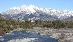
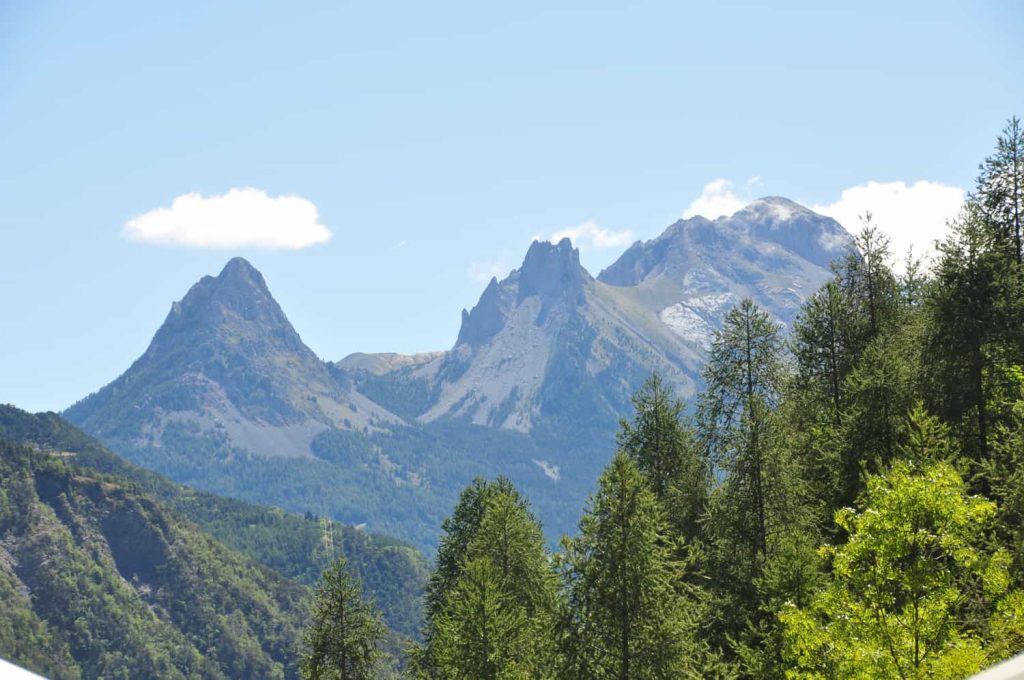
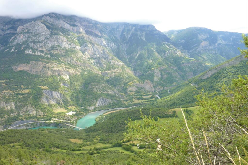
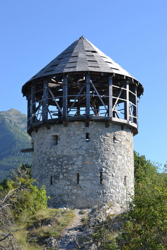
The Ubaye Valley in Images
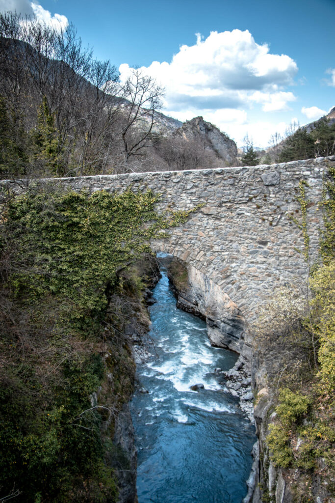
The Ubaye River
There Ubaye river thanks to its strong water flow has become an essential stopover for white water sports. Ubaye is one of the most beautiful rivers in France. All white water sports are possible there as rafting, kayaking, rafting, white water swimming, hydrospeed, canyoning. Pra Loup rafting in the Ubaye valley is the Phare activity.
Navigable over 50 km, the Ubaye offers numerous routes for nautical activities all year round. Ubaye is a torrential French river. With its pure and lively waters, the river is very popular for whitewater sports and hosted the French kayak championship in 2016 and every 2 years as well as the French extreme kayak cup. This river with a nivo-pluvial regime sees its flow vary according to the seasons: 80 m3/second in spring and 13 m3/second in late summer. Intact and untamed, it does not have any dams influencing its flow, which makes it a legendary and preserved river.
Mercantour National Park
The Mercantour National Park classified in 1979 is a natural universe to absolutely discover. Between the Alpes-Maritimes and the Alpes de Haute Provence, there are 68,500 ha of preserved habitats almost uninhabited by humans. The upper Ubaye and Verdon valleys are home to 2,000 species of plants, hundreds of animal species and grandiose landscapes. Discover delicate flowers, such as the Alpine columbine or the Venus slipper, admire the agility of the chamois on the rocky slopes and watch for the marmot standing guard. One thing is certain: all these species are protected by the Mercantour National Park and its peaks at an altitude of more than 3,000 m invite you on an unforgettable journey.
Ski resorts in Ubaye
Come and escape to discover the many peaks of the Barcelonnette valley and the many ski areas and Nordic spaces of Ubaye Serre-Ponçon. Alpine skiing and cross-country skiing are in the spotlight with 280 km and 58 km of slopes respectively in Pra Loup, Le Sauze and Sainte-Anne.
In summer, come and enjoy resort activities such as hiking and mountain biking. you will also find summer tobogganing and treetop adventure courses.
Stations at Ubaye greenhouse Ponçon
Ubaye greenhouse Ponçon is rich in a station which is Saint Jean de Montclar and not the least because it is the most dynamic station for downhill mountain biking. In fact, with its 180 km set up as a bike park, it attracts all those keen on downhill mountain biking in Ubaye. Come discover it and admire the view of Lake Serre Ponçon.
